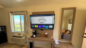
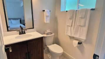
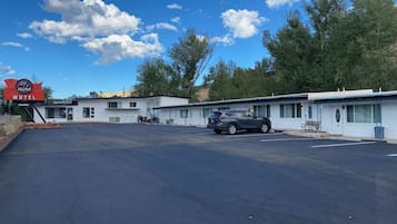
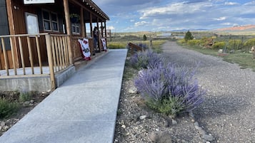
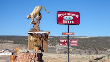
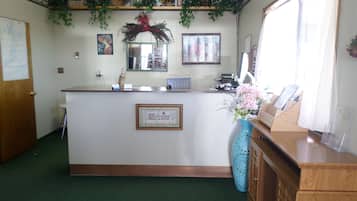
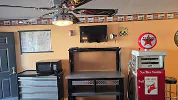
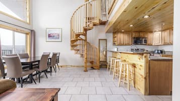
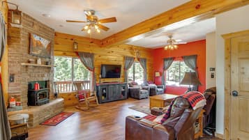
Coisas para fazer em Alton
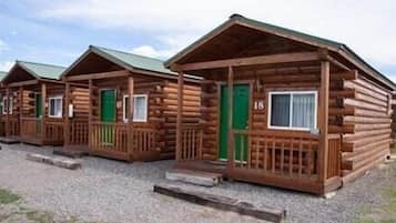
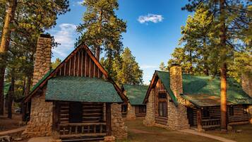
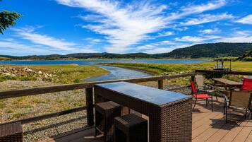
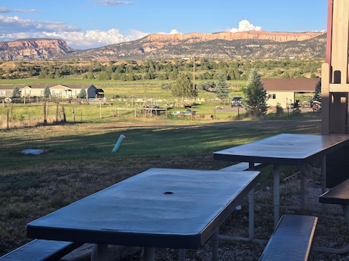
Alton, Utah, oferece uma fuga deliciosa para entusiastas ao ar livre, apresentando aventuras emocionantes e paisagens deslumbrantes. Os visitantes podem desfrutar de atividades como esquiar em estações de esqui locais, explorar áreas recreativas e embarcar em passeios turísticos. Com atrações locais como resorts de golfe e várias opções de camping, Alton é perfeito para quem busca relaxamento e aventura em um ambiente pitoresco.
Compras
A experiência de compras mais próxima é nos mercados locais, onde você pode encontrar artesanato e souvenirs únicos. Se você estiver disposto a dirigir, visite o Cedar City Town Center, a cerca de 48,3 km de distância, com uma variedade de lojas, incluindo varejistas de moda e butiques de presentes.
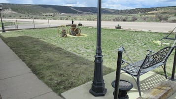
Recreação
O Alton Wellness Retreat oferece um ambiente tranquilo e terapias holísticas, perfeitas para relaxamento e rejuvenescimento. Desfrute de sessões de yoga, meditação e tratamentos de spa em meio a paisagens naturais deslumbrantes. Para diversão ao ar livre, explore trilhas próximas para caminhadas, locais de pesca e vistas deslumbrantes, garantindo uma mistura gratificante de bem-estar e aventura.
Aventura
Explore as paisagens deslumbrantes do Parque Nacional de Zion, onde trilhas como a Angels Landing oferecem vistas deslumbrantes e alturas emocionantes. Para uma experiência única, experimente o canyoning nos desfiladeiros, navegando por passagens estreitas e formações rochosas vibrantes que o deixarão maravilhado.
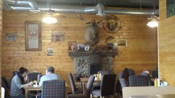
Vida Noturna
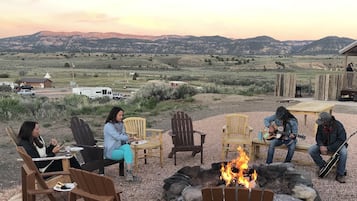
Em Alton, a cena dos pubs locais oferece uma atmosfera charmosa com música ao vivo e bate-papo amigável. As cidades próximas apresentam bares e restaurantes pitorescos, perfeitos para uma noite relaxante. Não perca os eventos ocasionais ao ar livre que mostram talentos locais sob as estrelas.
*As distâncias são medidas em linha reta; as distâncias reais de carro podem variar dependendo da rota.